
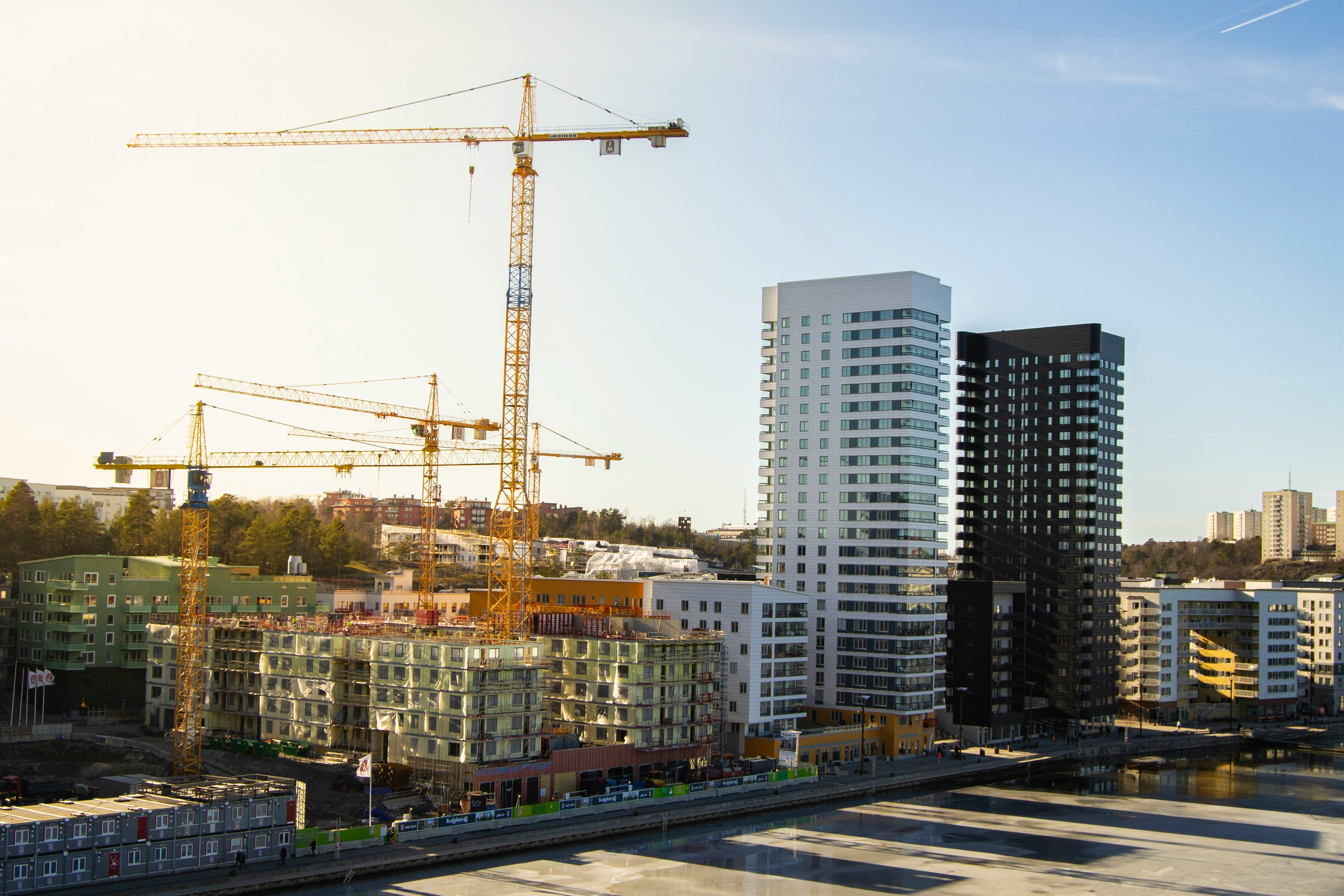
Detecting Nearby Developments: Why Monitoring Surrounding Land Is as Important as Monitoring Your Own
Owning or managing land is no longer just about what happens within your property boundaries. New roads, residential projects, industrial facilities, commercial developments, mining activities, or environmental changes occurring nearby can significantly impact the value, accessibility, compliance, and future potential of your land.
Traditionally, discovering these developments relied on periodic site visits, local contacts, or government notifications. Today, satellite imagery enables organizations to monitor not only their own properties but also the surrounding landscape, providing early visibility into changes that could affect their investments.
Why Nearby Developments Matter
Changes around your property can have both positive and negative consequences.
Positive developments may include:
- New highways or roads
- Metro or railway projects
- Commercial developments
- Residential townships
- Public infrastructure
- Improved accessibility
Negative developments may include:
- Illegal encroachments
- Mining activities
- Industrial pollution
- Deforestation
- Landfills
- Waterbody degradation
- Unauthorized construction
Detecting these developments early allows organizations to make informed business decisions before problems—or opportunities—grow larger.
Challenges of Traditional Monitoring
Monitoring surrounding areas manually is difficult because:
- Large areas must be inspected regularly.
- Developments may occur between scheduled visits.
- Remote properties are expensive to inspect.
- Public information often arrives too late.
- Manual monitoring does not scale across hundreds of locations.
As portfolios grow, keeping track of nearby activity becomes nearly impossible through field inspections alone.
How Satellite Monitoring Solves the Problem
Modern Earth observation satellites capture updated imagery every few days.
AI-powered change detection compares newly acquired imagery with historical images and highlights areas where significant changes have occurred.
Instead of manually reviewing thousands of acres, organizations receive alerts whenever meaningful activity is detected near their land.
This enables continuous monitoring without continuous travel.
Types of Nearby Developments That Can Be Detected
Satellite imagery can reveal a wide variety of surrounding developments, including:
- New building construction
- Road expansion
- Highway development
- Railway construction
- Industrial parks
- Warehouses
- Solar farms
- Wind energy projects
- Quarry and mining expansion
- Vegetation clearing
- Waterbody changes
- Urban expansion
- Agricultural conversion
- Land excavation
Many of these changes become visible long before they are publicly announced.
Real-World Example
Imagine a company owning 2,000 acres for future industrial development.
A new national highway project begins less than two kilometers away.
Without continuous monitoring, the company may discover the development months later.
With satellite monitoring, the construction is detected during its early stages, allowing the company to:
- Reassess land valuation.
- Update investment strategies.
- Plan infrastructure connectivity.
- Accelerate development plans.
- Engage with authorities proactively.
Early information creates a competitive advantage.
Business Benefits
Better Investment Decisions
Understand how surrounding infrastructure influences property value.
Early Risk Detection
Identify encroachments, mining, or environmental degradation before they become major issues.
Improved Due Diligence
Continuously monitor land acquired for future projects.
Enhanced Planning
Track nearby infrastructure projects that may improve logistics and accessibility.
Portfolio-Wide Visibility
Monitor hundreds or thousands of properties from a single dashboard.
Industries That Benefit
Nearby development monitoring is valuable for:
- Real estate developers
- Infrastructure companies
- Industrial parks
- Renewable energy developers
- Financial institutions
- Government agencies
- Urban planning authorities
- Mining companies
- Logistics companies
- Large landowners
How WatchMyPlots Helps
WatchMyPlots enables organizations to monitor not only their land parcels but also the surrounding areas using satellite imagery and automated change detection.
With WatchMyPlots, you can:
- Continuously monitor land and nearby surroundings.
- Detect new construction and infrastructure development.
- Receive alerts when significant nearby changes occur.
- Compare historical and current satellite imagery.
- Analyze trends through an interactive dashboard.
- Make faster, data-driven decisions without frequent site visits.
By providing timely insights into surrounding developments, WatchMyPlots helps organizations stay informed, reduce uncertainty, and respond proactively.