
Secure land holdings with the power of Geo-AI and High Resolution Satellites
Get Updates on Construction, Fencings, Tree loss, excavation, etc. on monthly basis along with legally valid satellite imagery as proof.
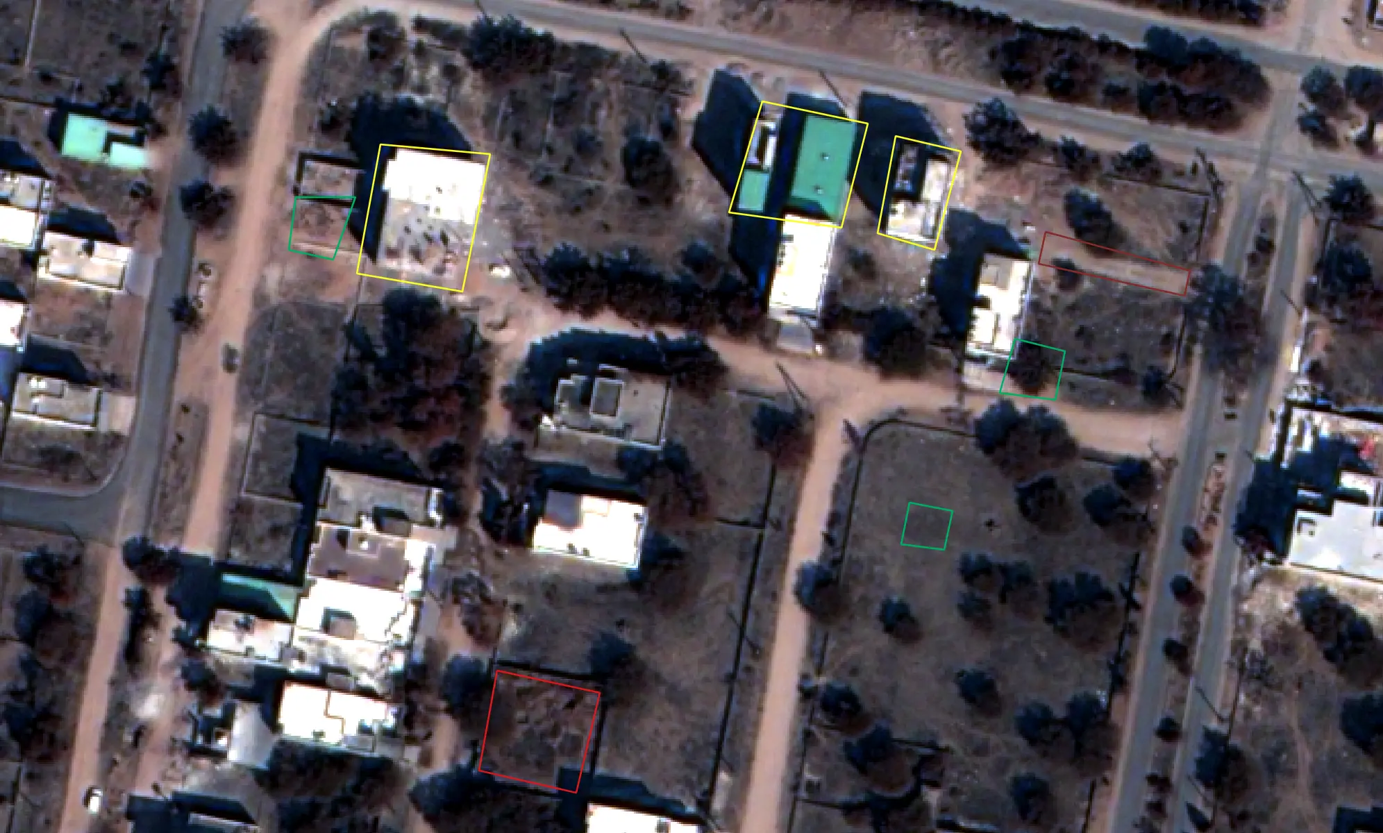
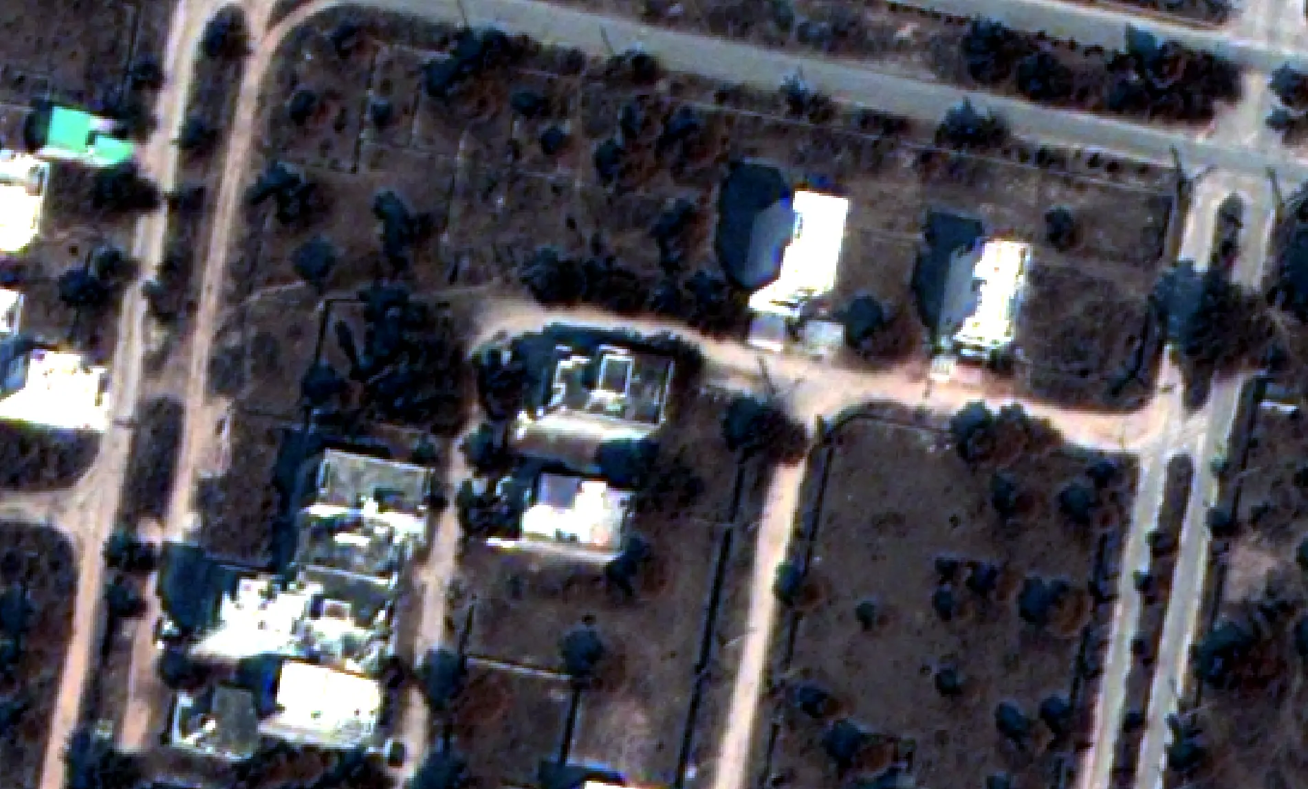
Drag the handle to view detected structure modifications.
Who Should Use This Tool?
From private landowners to municipal planners, our sub-meter satellite monitoring secures physical assets globally.
Individual Plot Owners
Properties of at least 0.5 acres
- ✓ Boundary Encroachment: Detect fences, structures, or pathways crossing your property line instantly.
- ✓ Soil & Vegetation Audits: Track change indicators in canopy health, crop yield, or soil degradation monthly.
- ✓ Remote Peace of Mind: Stay updated on physical land state from anywhere globally, eliminating physical inspection costs.
Land Developers
Premium Client Security & Evidence
- ✓ Legally Backed Evidence: Provide clients with verified historical timelines of grading and construction progress as an additional service.
- ✓ Value-Added Service: Offer satellite monitoring reports as a premium, post-purchase security service for your end clients.
- ✓ Earthworks Auditing: Remotely audit subcontractor grading, clearing, and foundations work schedules.
Institutional Buyers
Broad Portfolio Risk Mitigation
- ✓ Pre-Acquisition Diligence: Audit historic soil shifts, canopy clearing, and flooding records before closing acquisitions.
- ✓ Bulk Risk Tracking: Monitor vast tracts of real estate holdings for unauthorized structural grading or environmental risks.
- ✓ Market Context Valuation: Audit development progress and new infrastructure extensions nearby your parcels.
Corporations
Corporate Land Asset Tracking
- ✓ Industrial Zone Security: Remotely track and monitor complex logistics depots, pipeline corridors, and manufacturing sites.
- ✓ Fencing & Buffer Auditing: Ensure that corporate reserve buffers and easement boundaries remain clear of external dumping or encroachment.
- ✓ Environmental Audits: Keep automated digital reports of canopy maintenance and green zones for carbon offset validation.
Development Authorities
Zoning & Planning Audits
- ✓ Green Space Violations: Instantly detect illegal logging, quarrying, or grading inside municipal reserve areas and park limits.
- ✓ Unpermitted Construction: Flag unauthorized foundations, grading operations, or building expansions early in the process.
- ✓ Municipal Audit Evidence: Provide concrete, georeferenced satellite data timelines for zoning audits and land dispute resolutions.
From Satellite Image to Alert
Monthly Satellite Image
The latest high-resolution satellite imagery is automatically acquired for your property every month.
Image Registration
Images are precisely aligned with previous observations and your property boundary for accurate comparison.
Cloud & Shadow Filtering
Clouds and shadows are detected and excluded to minimize false change detections.
AI Change Detection
AI compares the latest and historical imagery to identify meaningful land changes.
Object Classification
Detected changes are categorized into construction, roads, excavation, vegetation loss, water bodies, and more.
Human-readable Report
A detailed report with before-and-after imagery, change summaries, and timestamps is generated automatically.
AI That Understands What's Changed
WatchMyPlots doesn't simply highlight that something has changed. Our AI analyzes the affected region and categorizes the detected activity, such as new construction, road development, excavation, vegetation loss, or land-use change. This helps you understand both where the change occurred and what likely happened.
Types of Changes Detected
On-site Visits Required
Report Generation After Imagery Availability
Improved accuracy with AI & Human in loop
Minimum Area For Analysis
Platform Availability
Smallest Area Change Detected
Ultra High resolution geo-referenced image
AI Change Classification Gallery
Our models classify anomalies into structural and environmental changes. Toggle the categories below to see how our computer vision algorithms categorize different anomalies.
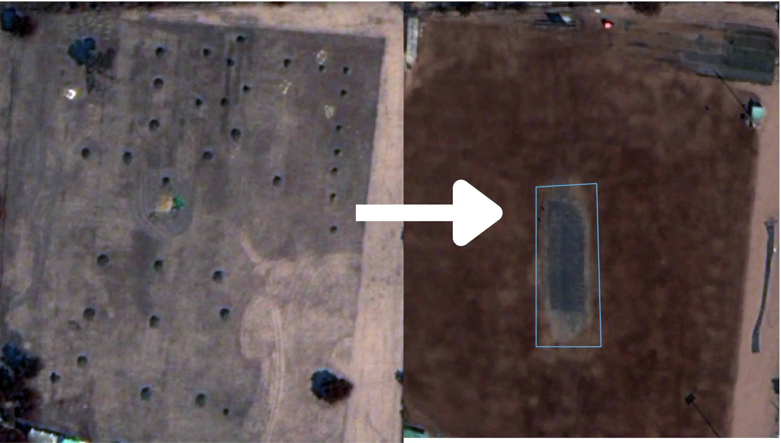
Soil Excavation & Land Grading
Identifies heavy earthmoving operations, road cuttings, and soil clearing. The system maps the surface reflectivity variance and flags changes in bare-ground exposure indexes.
Feature Suite
Professional spatial tools designed to integrate directly with your real estate or land management operations.
Import Parcel Boundaries
Draw your parcel boundaries directly on our integrated map, or import KML and GeoJSON.
Temporal Timeline
Scroll through our horizontal imagery date filmstrip to compare historically detected anomalies and download archival assets.
Instant Alerts
Receive email, SMS, or WhatsApp updates the moment the AI Engine flags changes.
Certified Audits & Reports
Export stamped, certified satellite metadata dossiers, geo-referenced TIFF tiles, raw coordinates, and PDF audit reports suitable for legal evidence or compliance.
Vector Annotations
Mark, draw, and overlay custom points, border lines, and hazard polygons directly onto scan anomalies to document terrain adjustments over time.
Cloud Cover Filter
Automatically filter meteorological anomalies. If cloud thickness blocks verification, near-date satellite imagery pixels are dynamically reconstructed.
Annual Monitoring Subscription Plans
Select a frequency and detection sensitivity tier matching your land portfolio scale.
Visual Resolution Comparison
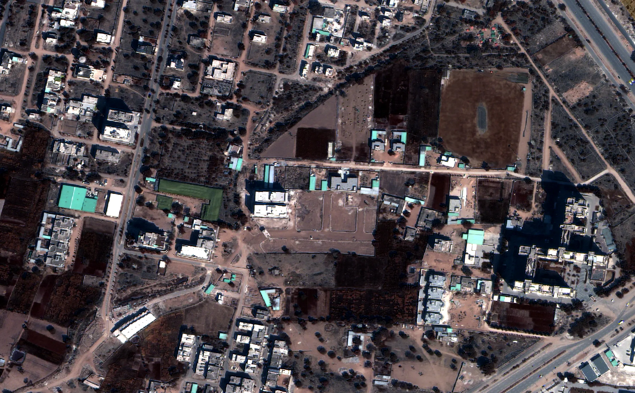
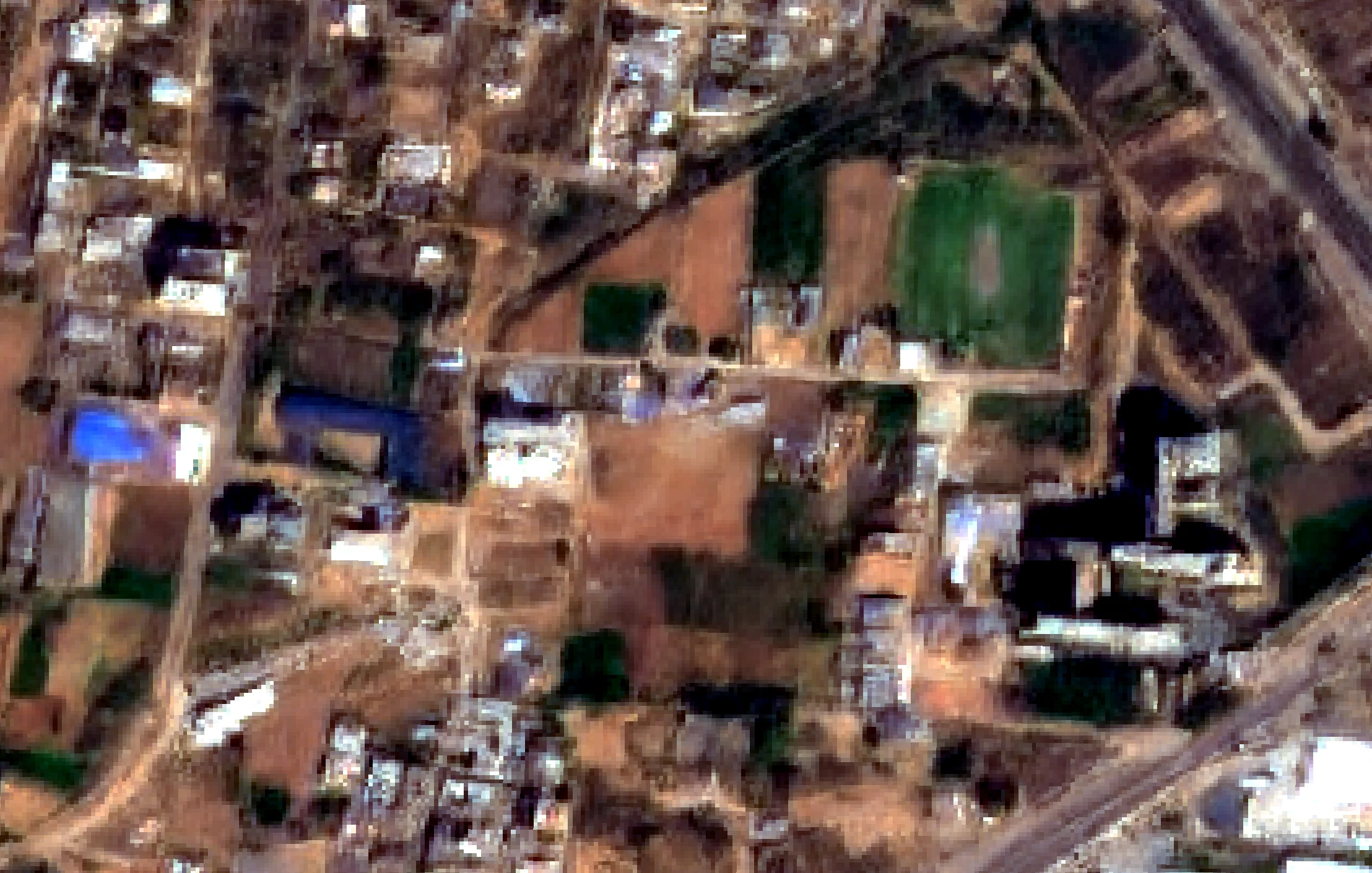
Drag the slider horizontally to compare Ultra-High Definition (UHD) and High Definition (HD) imagery side by side.
UHD View
Analytics Coverage Plan
Additional Acres (excluding GST):
• Next 9 acres (up to 10 total): ₹8999/ac/yr
• More than 10 acres: Contact Us
- Micro anomaly detection (2 Sq M and above)
- Get comprehensive reports every month (except cloudy weather)
- High-res neural structure, fence line, water logging, and soil grading classification
* All prices exclude GST
HD View
Analytics Coverage Plan
Additional Acres (excluding GST):
• Next 9 acres (up to 10 total): ₹6999/ac/yr
• More than 10 acres: Contact Us
- Macro anomaly detection (100 Sq M and above)
- Get reports every month (except cloudy weather)
- Suitable for large forest boundaries and macro logging activity
* All prices exclude GST
Interactive Cost Estimator
Slide to your total holdings area to estimate your custom institutional subscription (excluding GST).
Custom Quote Required
For boundaries larger than 10 acres, please contact us for custom volume pricing.
Got Questions?
Everything you need to know about satellite imaging frequencies, multi-polygon limits, and AI accuracy.
Start Monitoring Your Holdings Today
Protect your property boundaries, track environmental changes, and generate reports using deep learning analytics.